FSR 46 road closure
Last updated: Monday July 21, 2025 at 12:00 pm
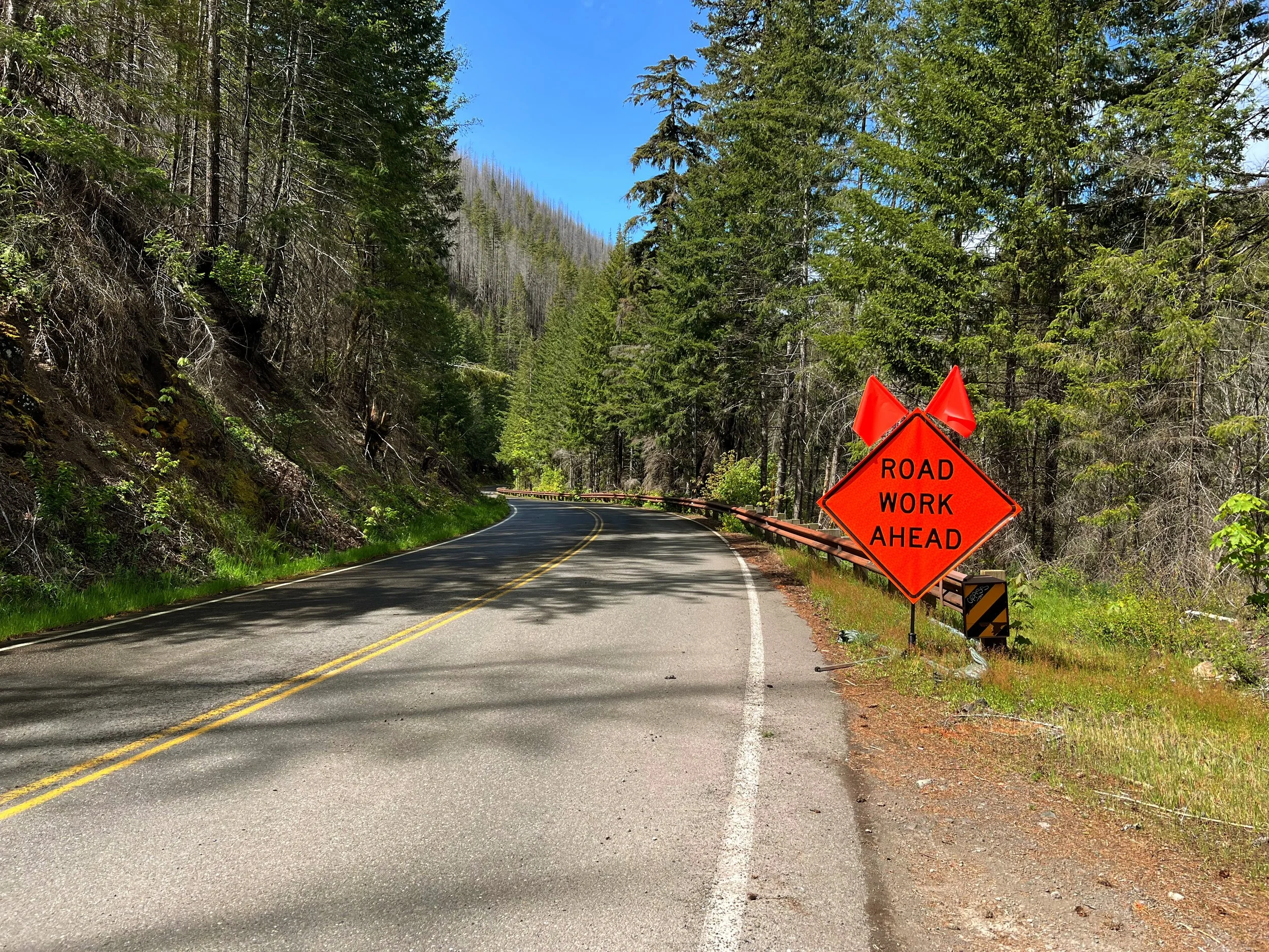
All construction is complete!
Access to Breitenbush from Hwy 22 in Detroit has been fully restored. Thank you for your patience through this process.
Last updated: Monday July 21, 2025 at 12:00 pm
Access to Breitenbush from Hwy 22 in Detroit has been fully restored. Thank you for your patience through this process.